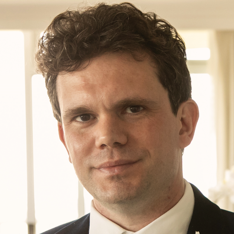
Supervisors

- Position
- Senior Lecturer Software Development
- Division / Faculty
- Faculty of Science
Overview
Background: Remote sensing the is process of measuring an object without direct contract and is usually applied in satellite or drone images. These images can be used to produce maps, which can identify water bodies, flooding, vegetation, deforestation, urban development and many other applications. The science behind the satellites and maps produces several analogies between land, space and sea with the lens of Indigenous Australian. For example, in terms of
- Science: Stars can be used as a compass or as a way of identifying seasons.
- Culture: Stories about land and water.
- History: Pre and Post colonisation. Page 18 of the QUT’s Campus to Country (https://www.qut.edu.au/about/campus-to-country) is a great example.
- Natural Disasters: How natural disasters were handled or remembered.
In 20205 IGARSS (https://www.2025.ieeeigarss.org/) will be in Brisbane. This the world’s largest remote sensing conference. It is the third time in the conference’s 42 year old history that it has been hosted in Australia, and the first time since 2013. This is a great opportunity to bring the knowledge stemmed from Indigenous education to the world.
Indigenous Australian students are recommended to apply.
Research engagement
Literature review, report writing
Research activities
This project spans multiple disciplines. The research itself will be dependent on the skills and experience of the student (see below). But in general, the student will:
- Preform a literature review/synthesis matrix on the topics above. Preferably around the area of Brisbane/South East Queensland.
- Find remote sensing images of the areas identified above (Google earth is fine).
- Design a poster or similar of the findings
Outcomes
The student will have:
- The chance to be an author in a journal article or conference paper.
- Experience research from the initial literature review to writing of results.
- The chance to be features at a world-recognised conference.
Skills and experience
Depending on the skills and experience of the student the project itself is very fluid. The most important research is to perform a Literature Review/Synthesis Matrix on the research topics. Other parts of the research can be conducted on the skills, experience, knowledge, connections of the individual student. Some of the other areas can be:
- Interviews with local communities and elders.
- Designing a digital map using GIS programs (ArcMap, ArcPro and QGIS).
- An interactive map using touch screens.
- Education material, suitable for high-school students, university students or the general public.
Start date
20 November, 2024End date
20 February, 2025Location
Gardens Point
Keywords
Contact
Alan Woodley, a.woodley@qut.edu.au