What is it used for?
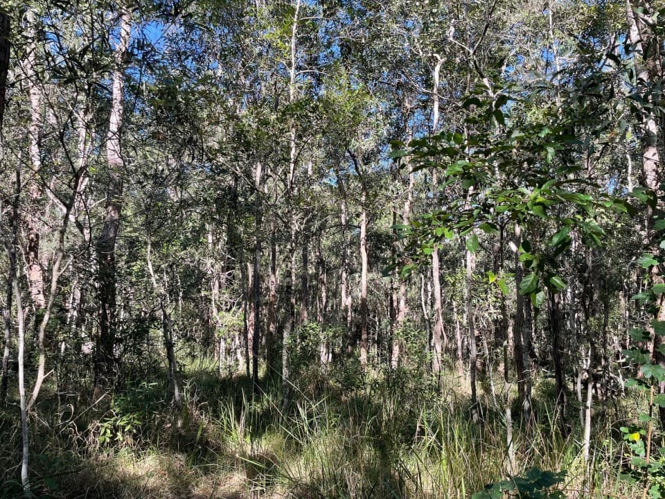
A one-hectare plot was established at SERF in 2010 as part of Australia's national ecosystem observation network to monitor changes in the ecosystem at SERF.
One of over 1000 plots across Australia, data collected from these plots are uploaded to the Terrestrial Ecosystem Research Network (TERN) Data Discovery portal to enable free access by the community, researchers and government bodies.
Why is this important?
The plants and animals that live in a particular place can survive because they get the things they need, such as rain, nutrients from the soil and temperatures that are not too hot or too cold. Measuring how tall the trees are, tree death and collecting other data from the forest, allows scientists to detect changes in the ecosystem as it responds to changes like more or less rainfall.
With the use of consistent scientific protocols for monitoring, data from these plots provides trend information that is used to:
- increase understanding of changes to biodiversity and the carbon cycle
- in government reporting
- provide a long-term archive of images and sound recordings from this ecosystem.
What is measured on the SERF one-hectare plot?
Data collected by QUT researchers and staff which has contributed to the TERN Data Discovery Portal includes:
- species composition and abundance
- estimates of canopy cover
- photographic representation over time of the plot (panoramic photos)
- course woody debris (fallen branches for carbon estimation) annually
- standing above-ground biomass (standing live trees) every five years
- seedling recruitment
- flowering and fruiting studies
- acoustic monitoring
- pitfall traps for ant biodiversity as an ecosystem health measure
- camera trapping
- global decomposition (tea bag degradation).